
Rochester History Walk
Virtual Map
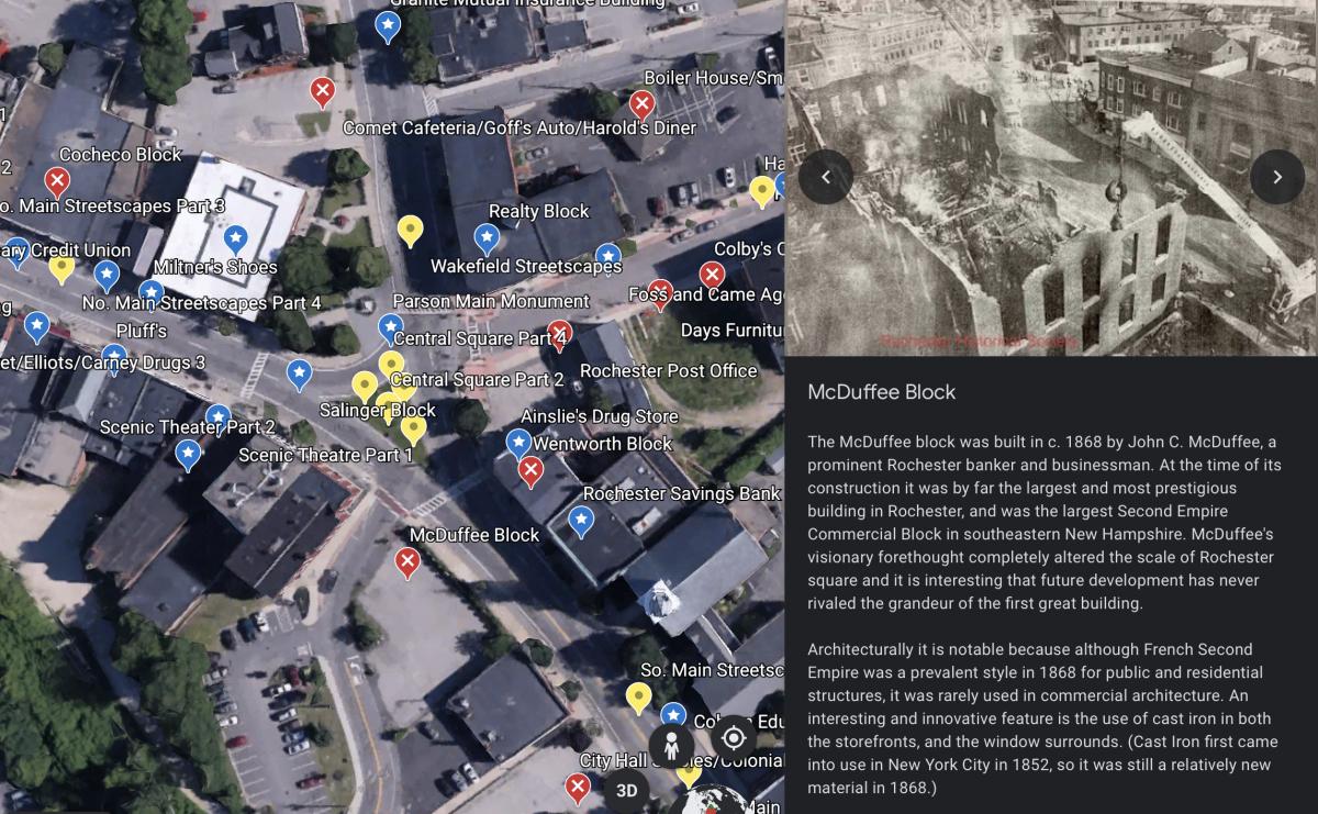
The Planning & Development Department and Public Information Office collaborated to catalog and upload several hundred photos from the Rochester Historical Society into Google Earth. The project is viewable on a desktop or via a mobile device.
Get Started
Users are encouraged to navigate between "pins" using the Table of Contents feature. Yellow pins represent open space and streetscape views throughout the years. Blue pins represent structures still standing today. Red pins mark the sites of demolished structures. The photos have also been correlated with the related Architectural Surveys by Strafford Rockingham Regional Council in 1980 and the Sanborn Fire Insurance Maps for accuracy.
- Click here to explore the map on a desktop computer or mobile device.
- Mobile devices will prompt you to download the Google Earth app if you don't have it installed already. Google Earth is free and available on the iOS and Google app stores.
- Need help? Click here for step-by-step instructions.
Preview
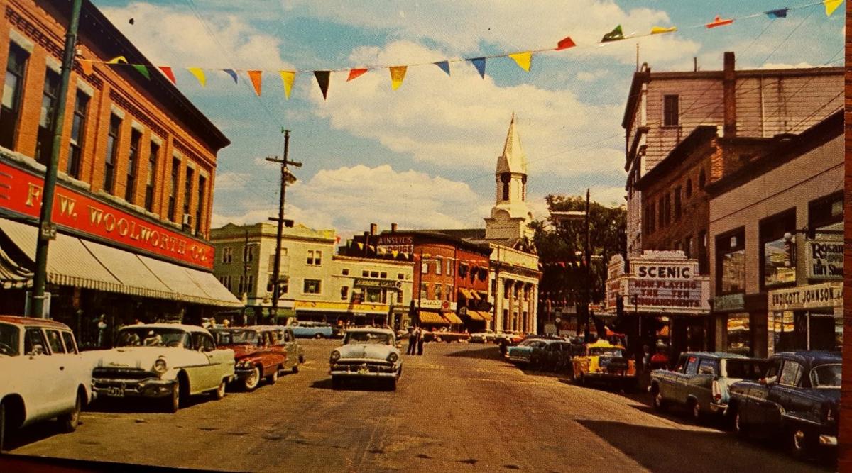
All photos are courtesy of the Rochester Historical Society.
A Work in Progress
The historic map is an evolving project. Additional photos and text will be uploaded as more information is uncovered and compiled. Check back frequently for updates. If you would like to contribute stories or photos of historic Rochester, please contact matthew.wyatt@rochesternh.gov.